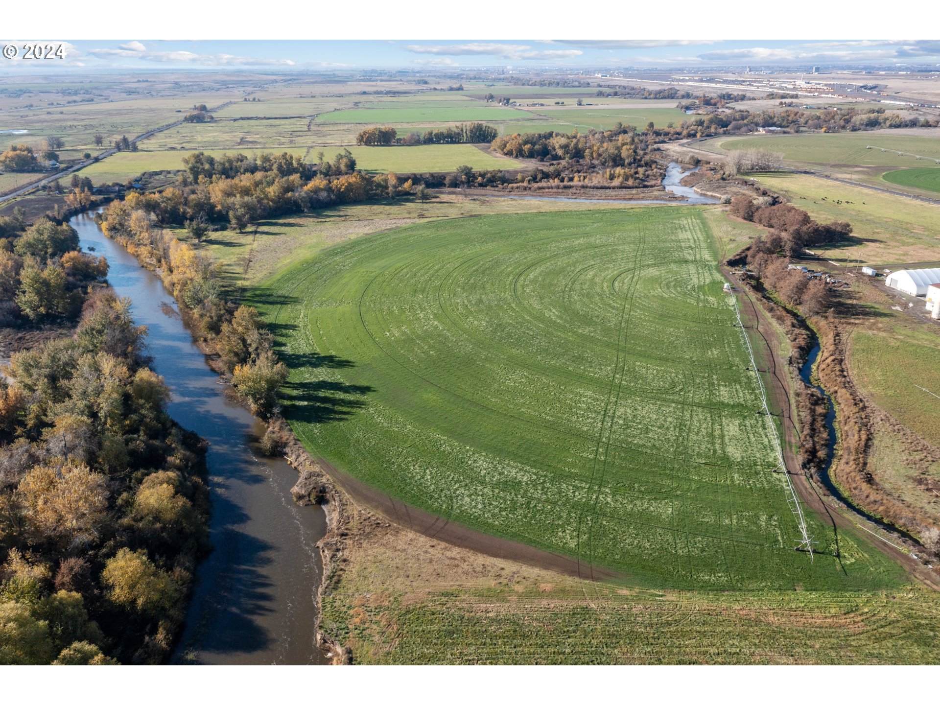
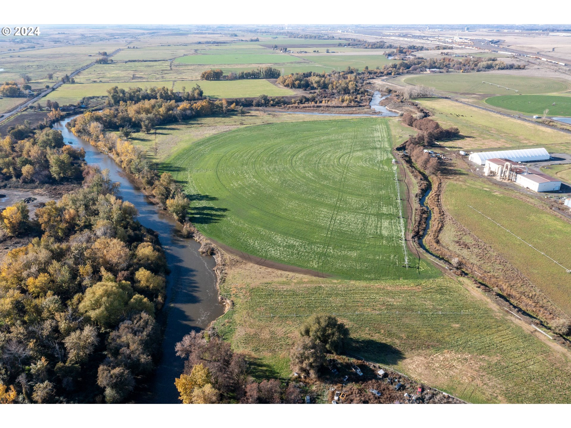
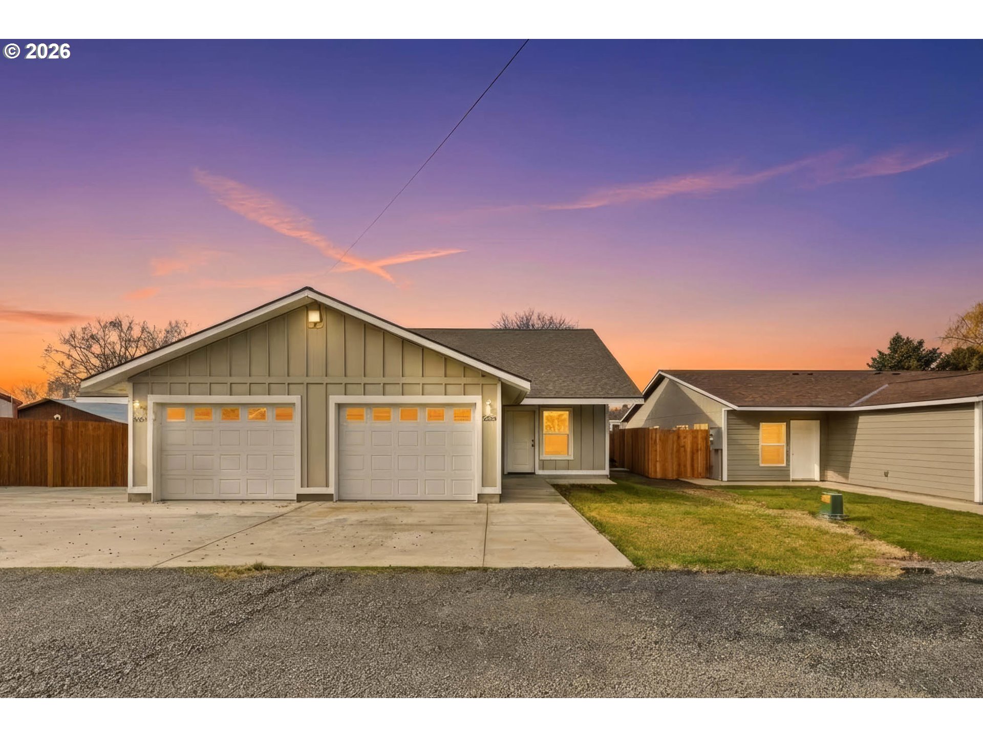
Situated in the Columbia Basin, the center of irrigated crop production, this Stanfield, Oregon farmland includes ± 89.86 irrigated acres. The property location features hot days, cool summer nights, well-drained soil and quality water, all integral factors for an ideal growing season. Water rights and 1 circle (pivot) and hand lines included. The water delivery system provides water from the “Stanfield Drain”, which is managed by the Stanfield Irrigation District (SID). The State of Oregon considers the drain water surface water from the Umatilla River. Priority dates range from 1903, 1921, 1947 and 1978. Current use is Livestock Grazing/Pasture Grass. Conveniently located with close access to and from the Umatilla/Hermiston area and surrounding towns via Hwy 395 and Interstates 82 and 84.
Listing Provided Courtesy of Ashley Moala, The Whitney Land Company
General Information
24187036
Farm
483
DOM
89.86 acres
EFU/GI
Umatilla
139511
Stanfield 3/10
Stanfield 3/10
Stanfield 3/10
Land
Farm
ACCOUNT ID: 139511, ACCOUNT ID: 106995
Listing Provided Courtesy of Ashley Moala, The Whitney Land Company
Krishna Realty data last checked: Feb 22, 2026 07:31 | Listing last modified Jan 06, 2026 11:53,
Source:
Download our Mobile app
Residence Information
No
Features and Utilities
Financial
1418.56
0
CallListingAgent
09-10-2024
No
No
Comparable Information
483
530
CallListingAgent
$1,370,000
$1,250,000
Jan 06, 2026 11:53
Schools
public Elementary : Stanfield
3/10Ratingspublic Middle : Stanfield
3/10Ratingspublic High : Stanfield
3/10Ratings
Situated in the Columbia Basin, the center of irrigated crop production, this Stanfield, Oregon farmland includes ± 89.86 irrigated acres. The property location features hot days, cool summer nights, well-drained soil and quality water, all integral factors for an ideal growing season. Water rights and 1 circle (pivot) and hand lines included. The water delivery system provides water from the “Stanfield Drain”, which is managed by the Stanfield Irrigation District (SID). The State of Oregon considers the drain water surface water from the Umatilla River. Priority dates range from 1903, 1921, 1947 and 1978. Current use is Livestock Grazing/Pasture Grass. Conveniently located with close access to and from the Umatilla/Hermiston area and surrounding towns via Hwy 395 and Interstates 82 and 84.