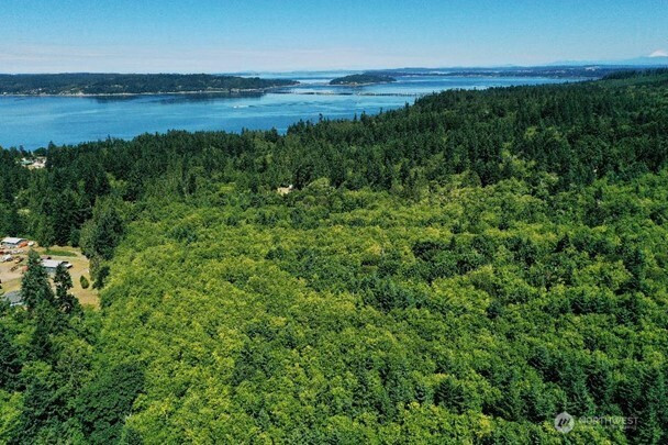
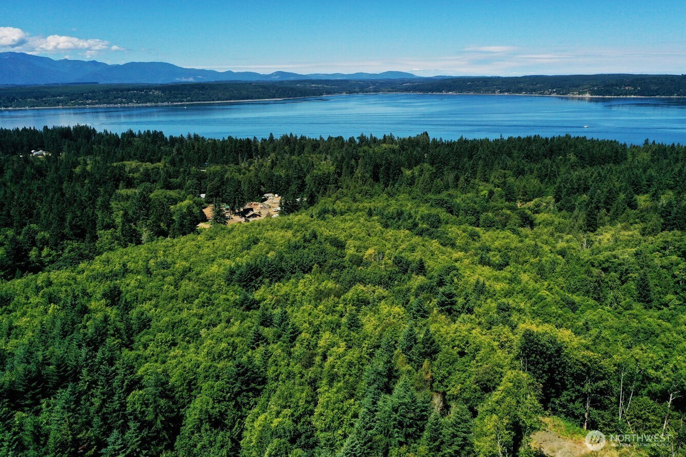
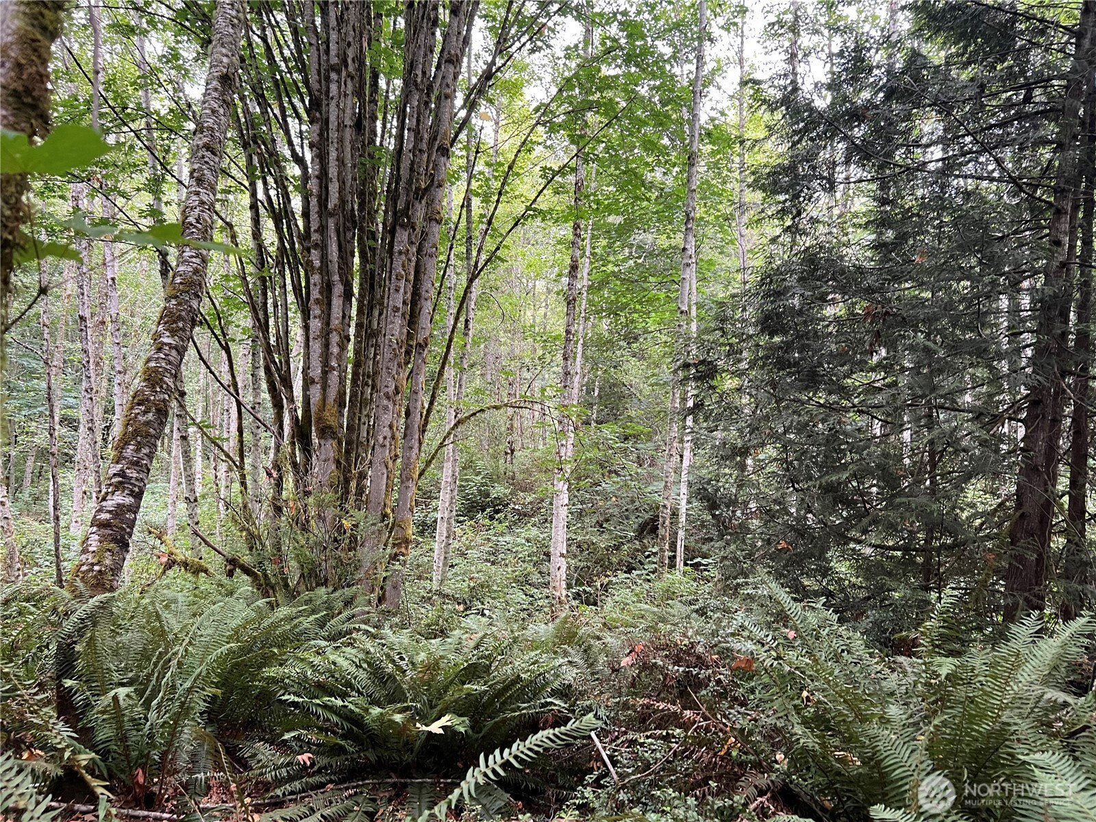
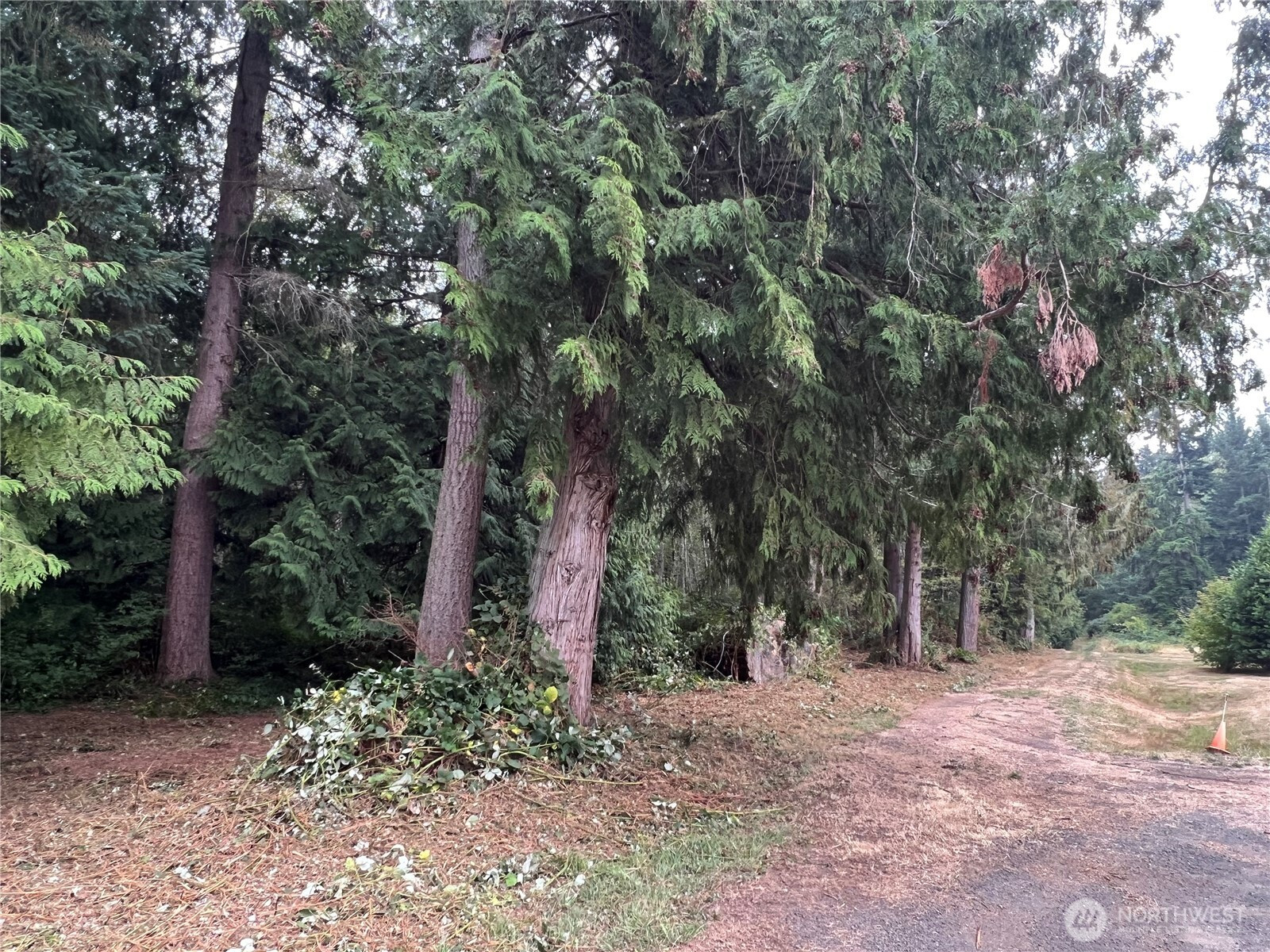
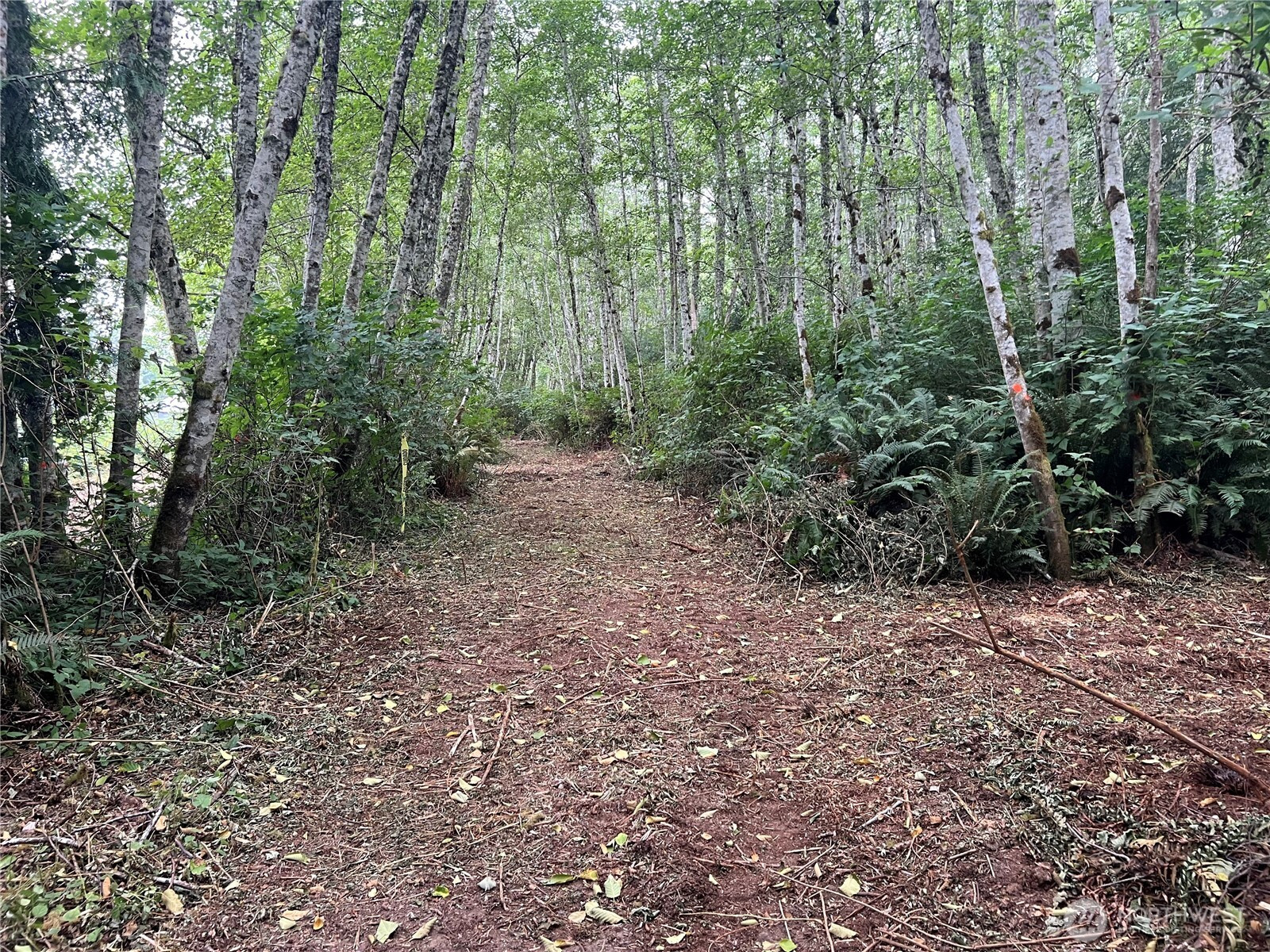
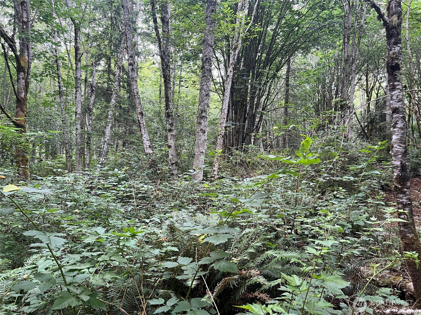
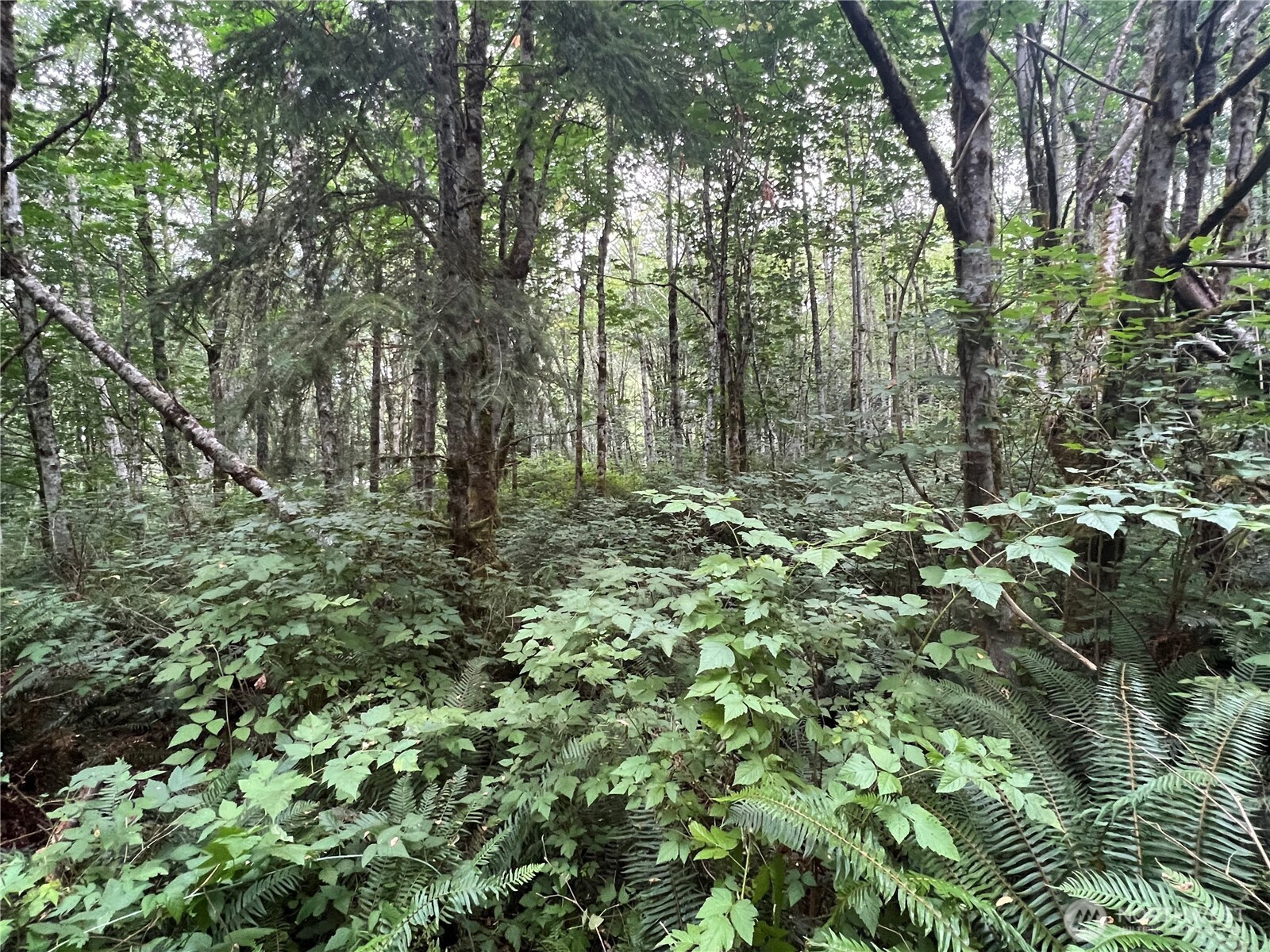
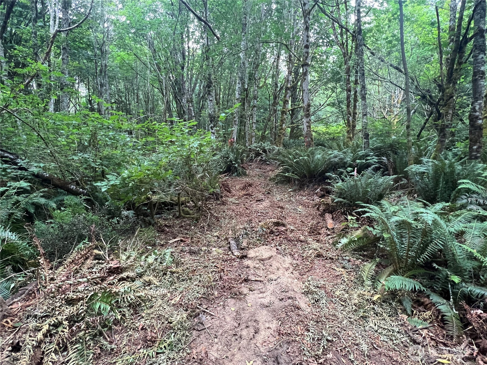
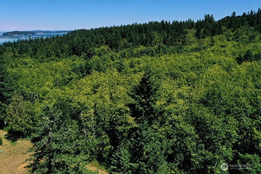
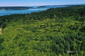
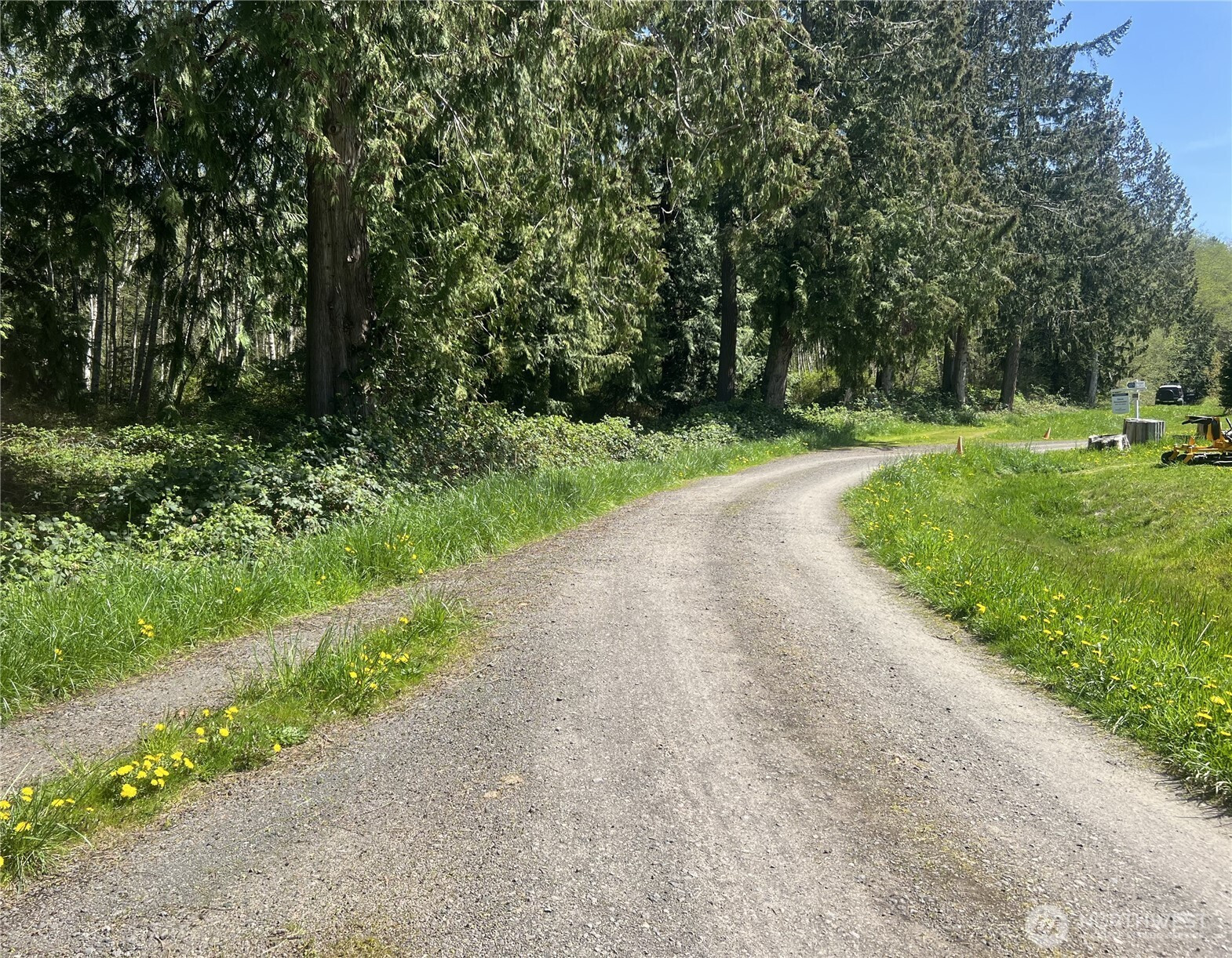
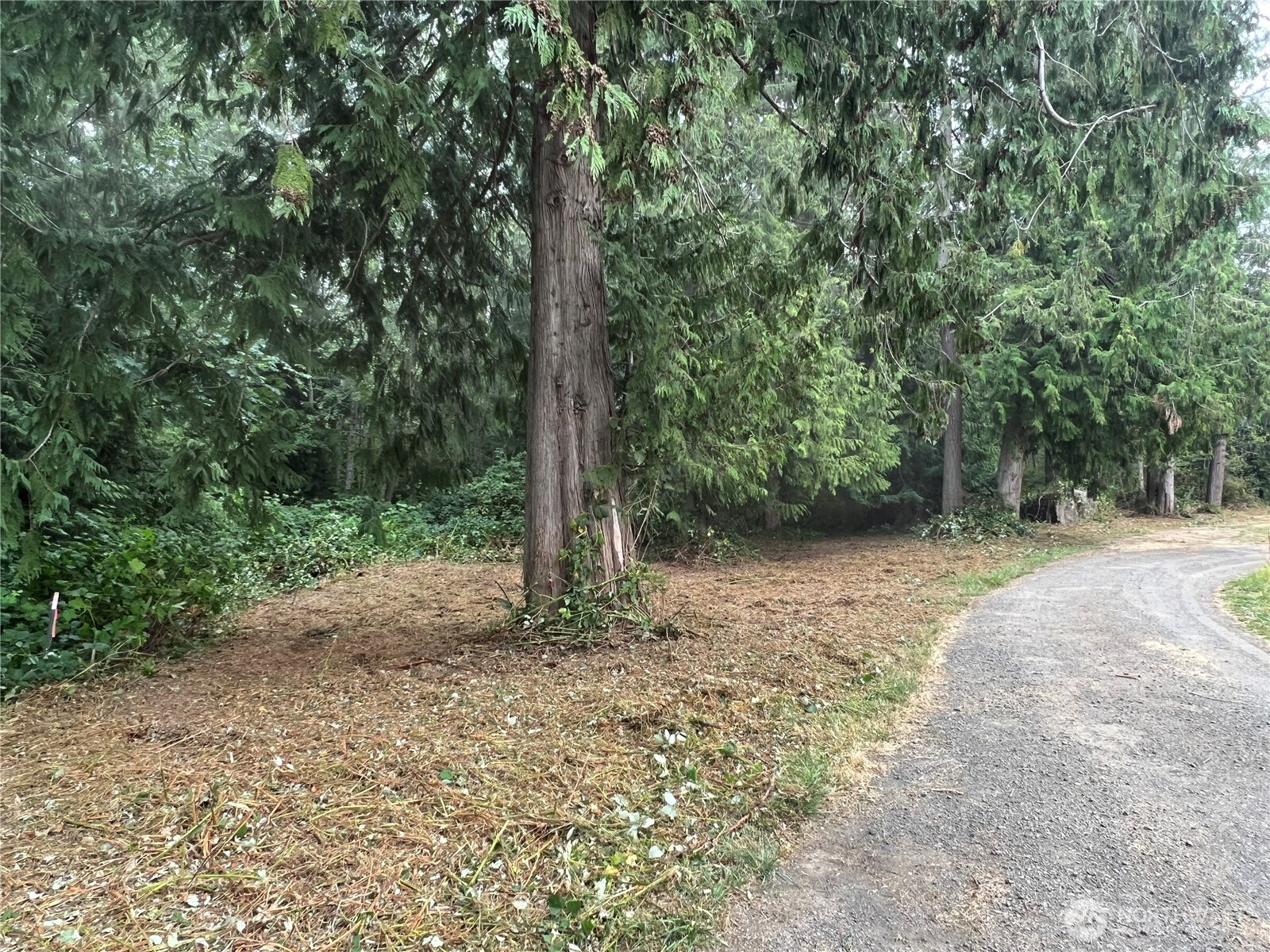
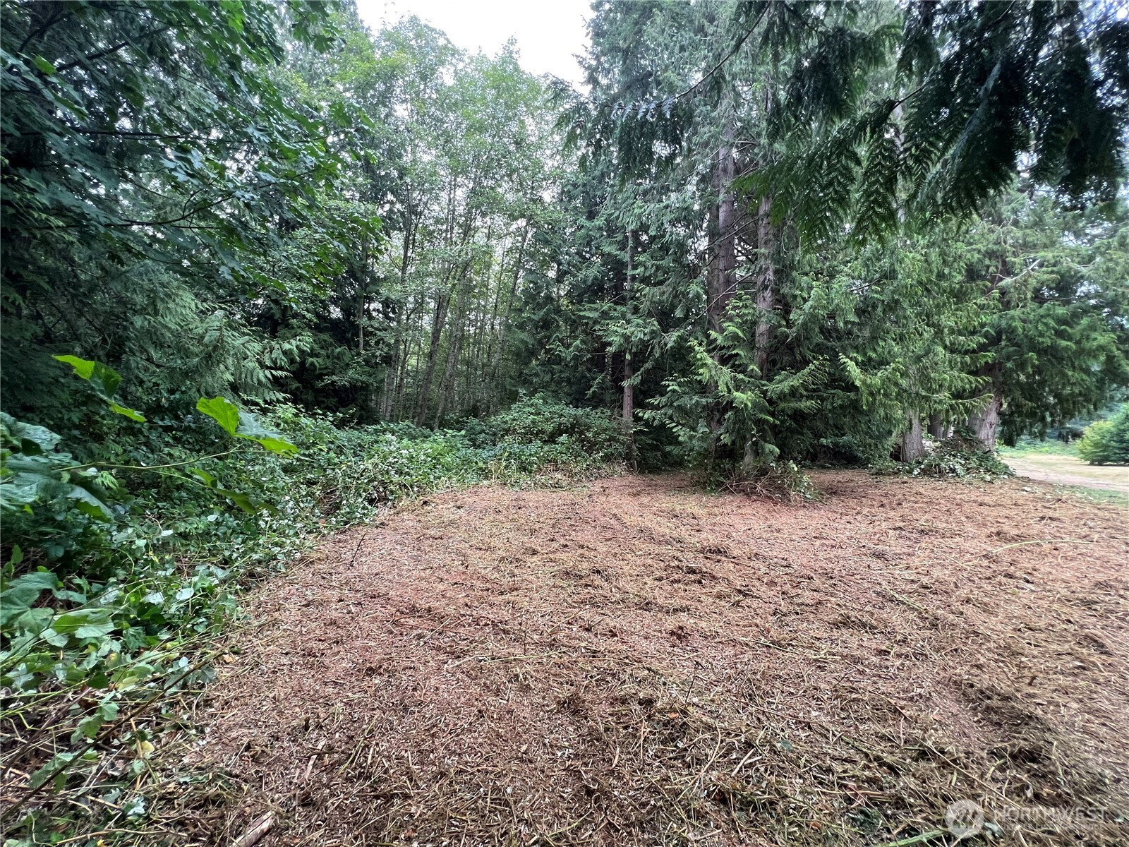
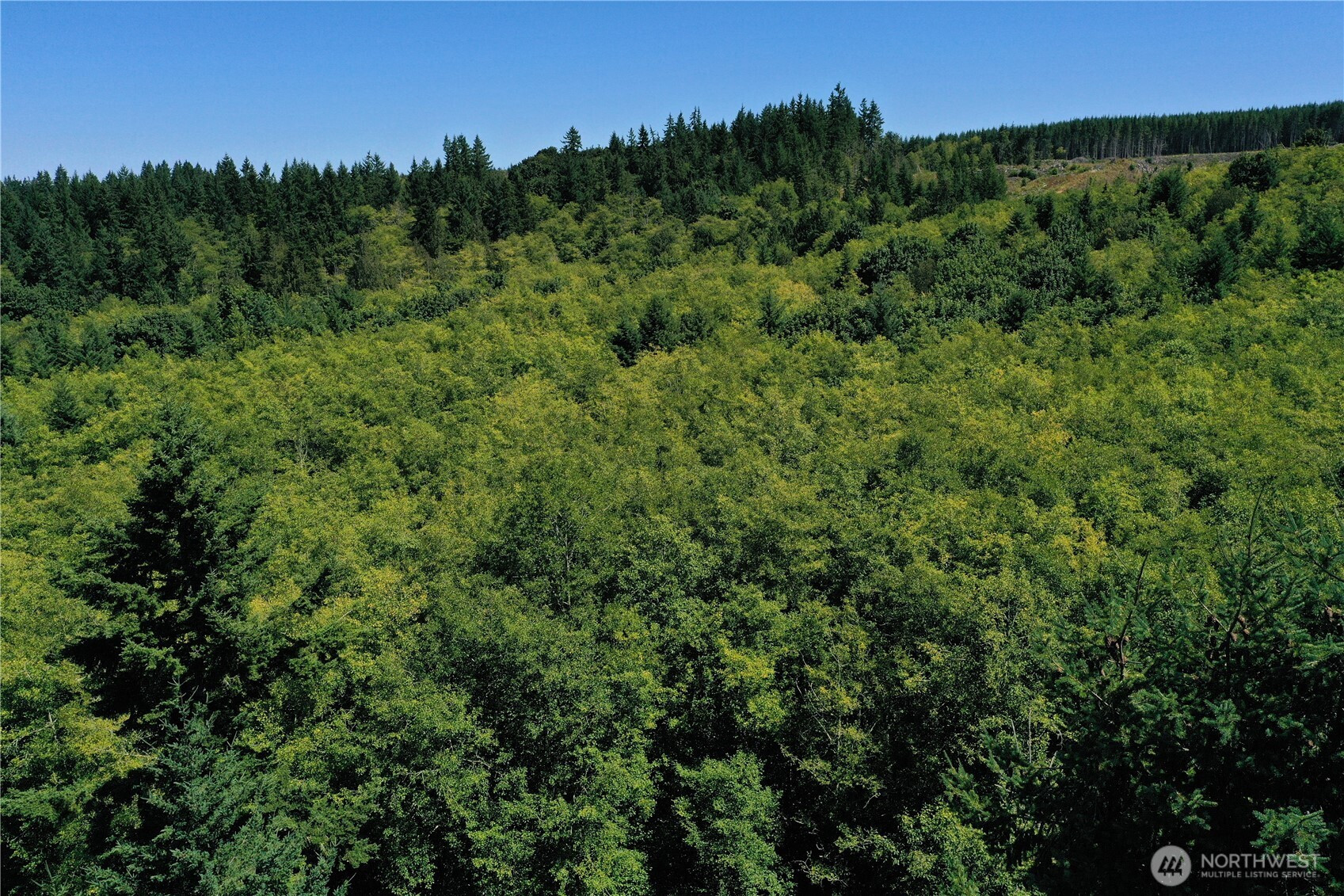
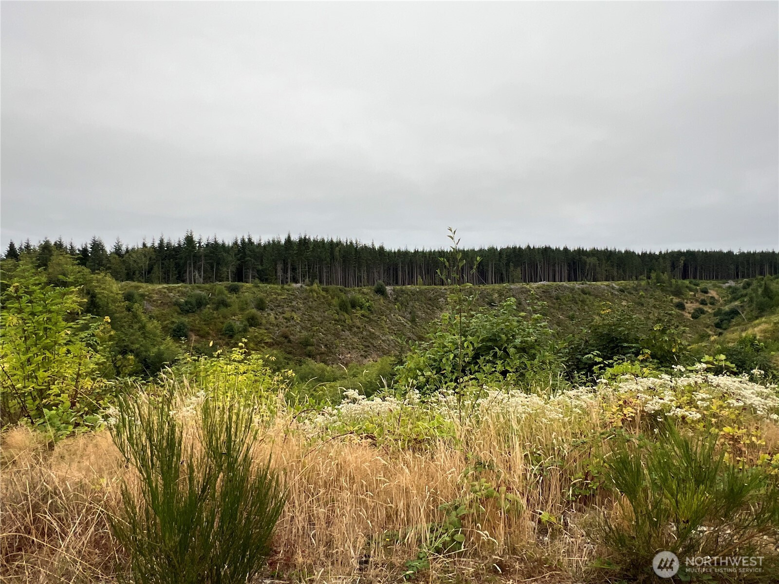
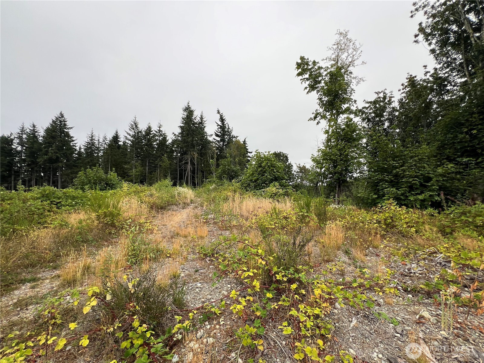
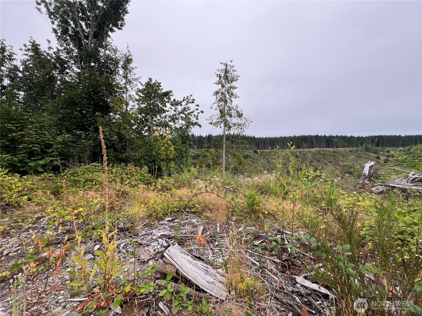
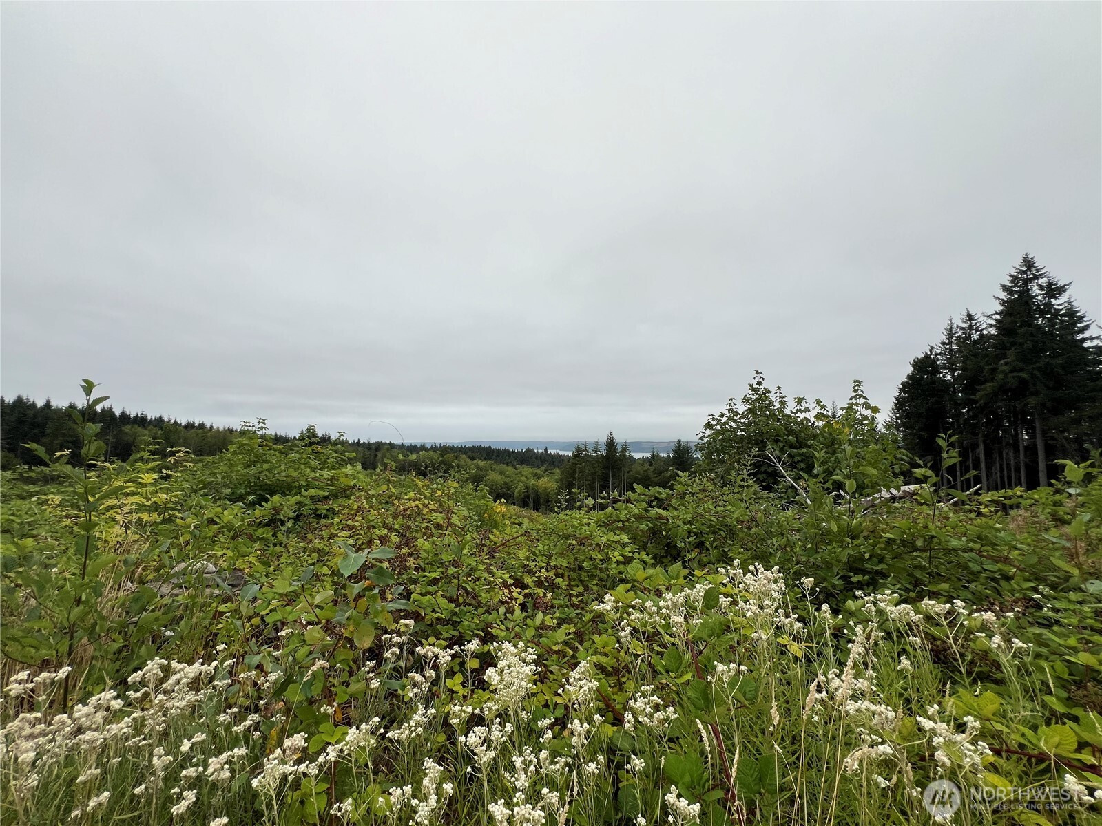
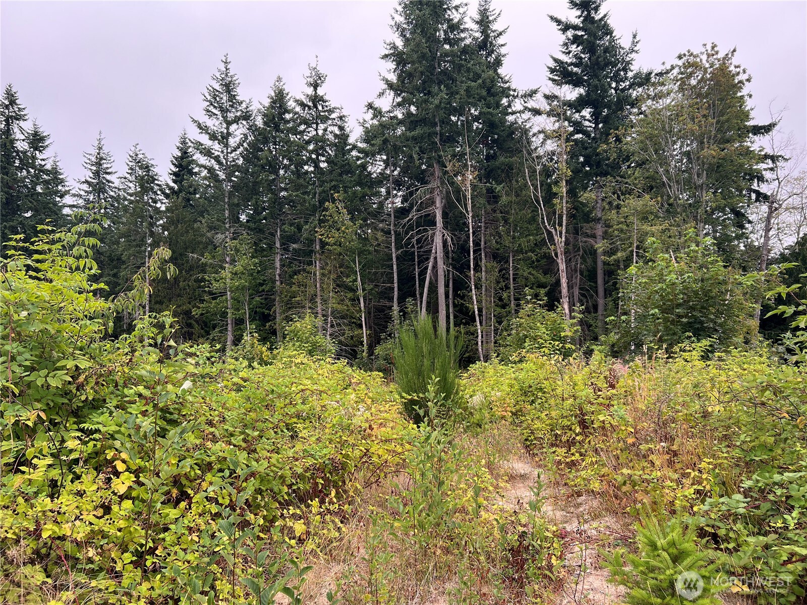
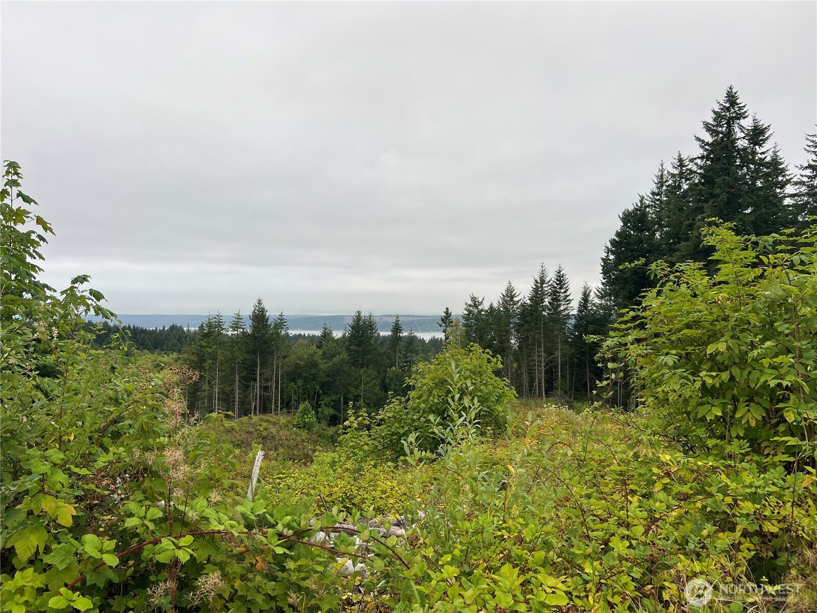
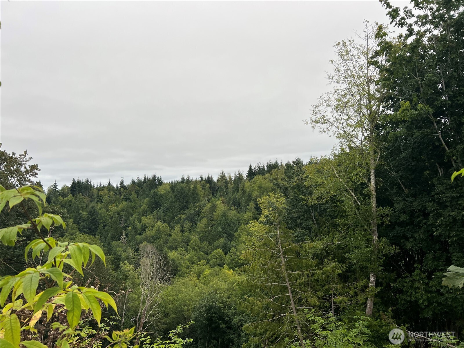
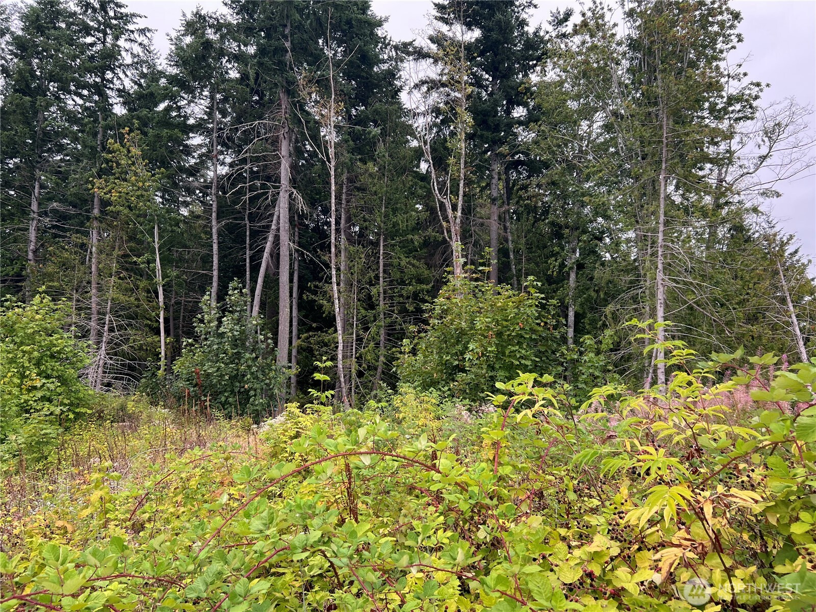
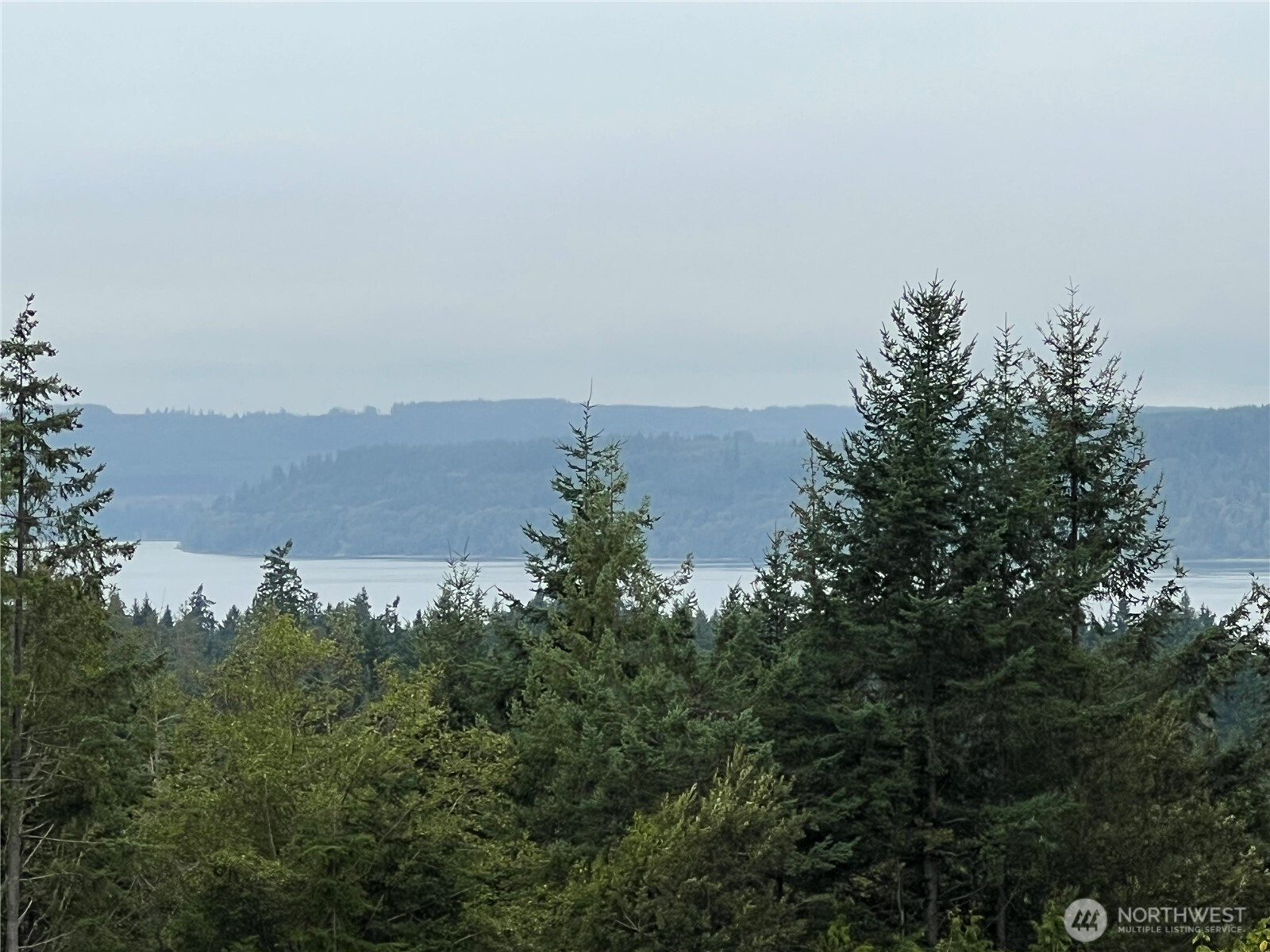
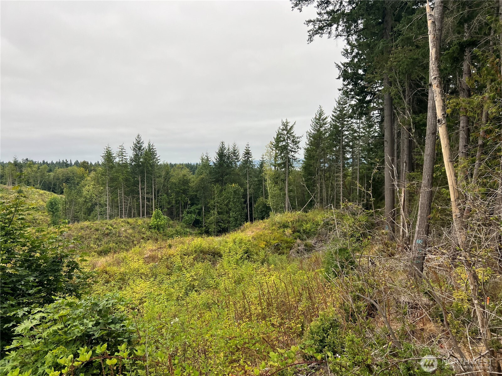
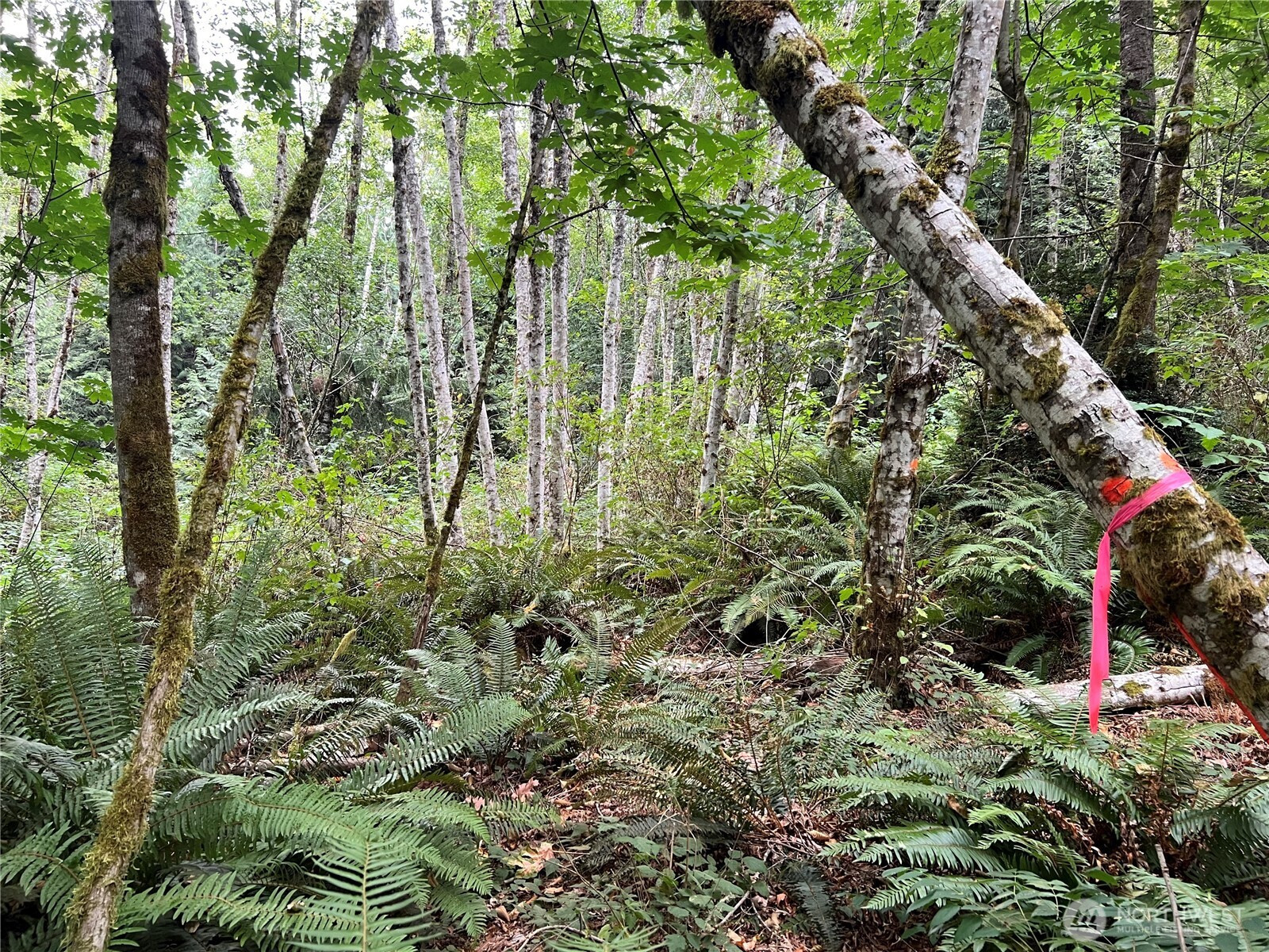
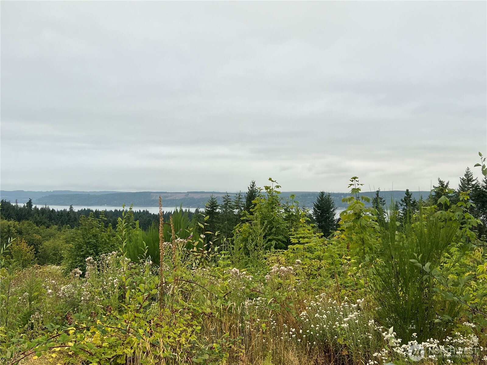
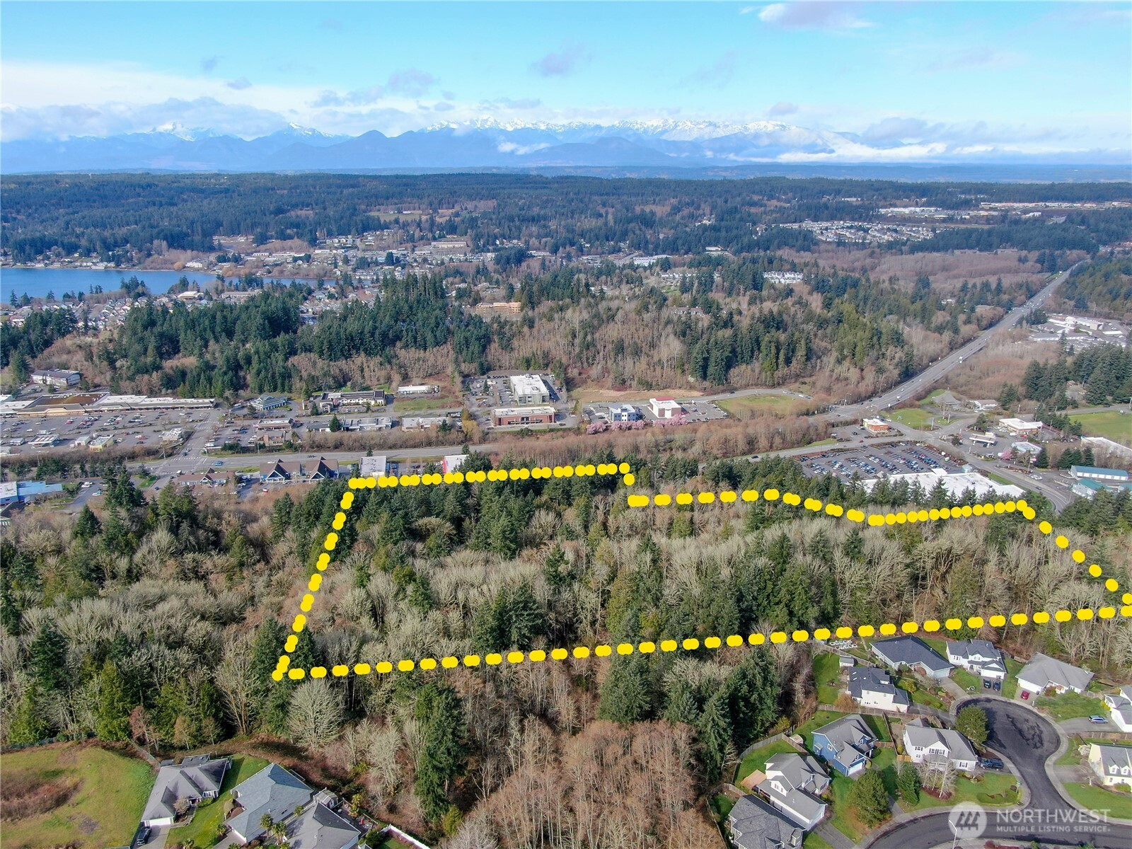
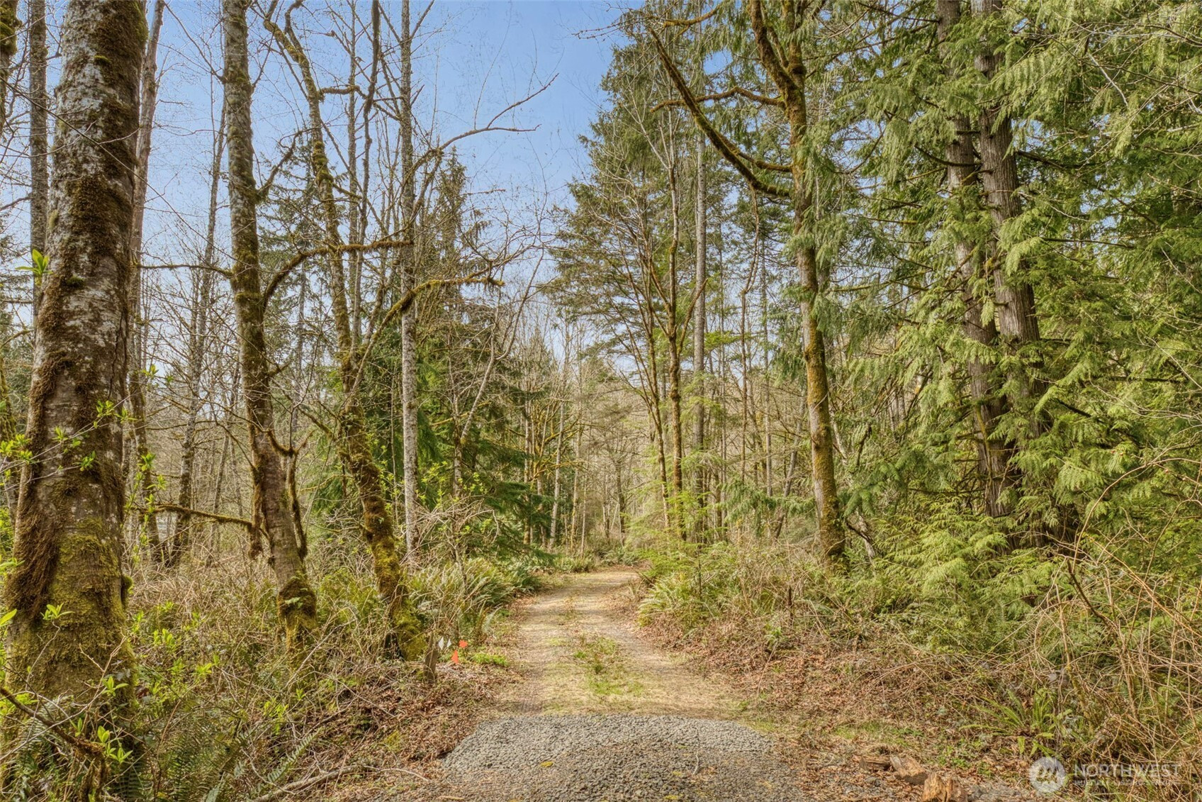
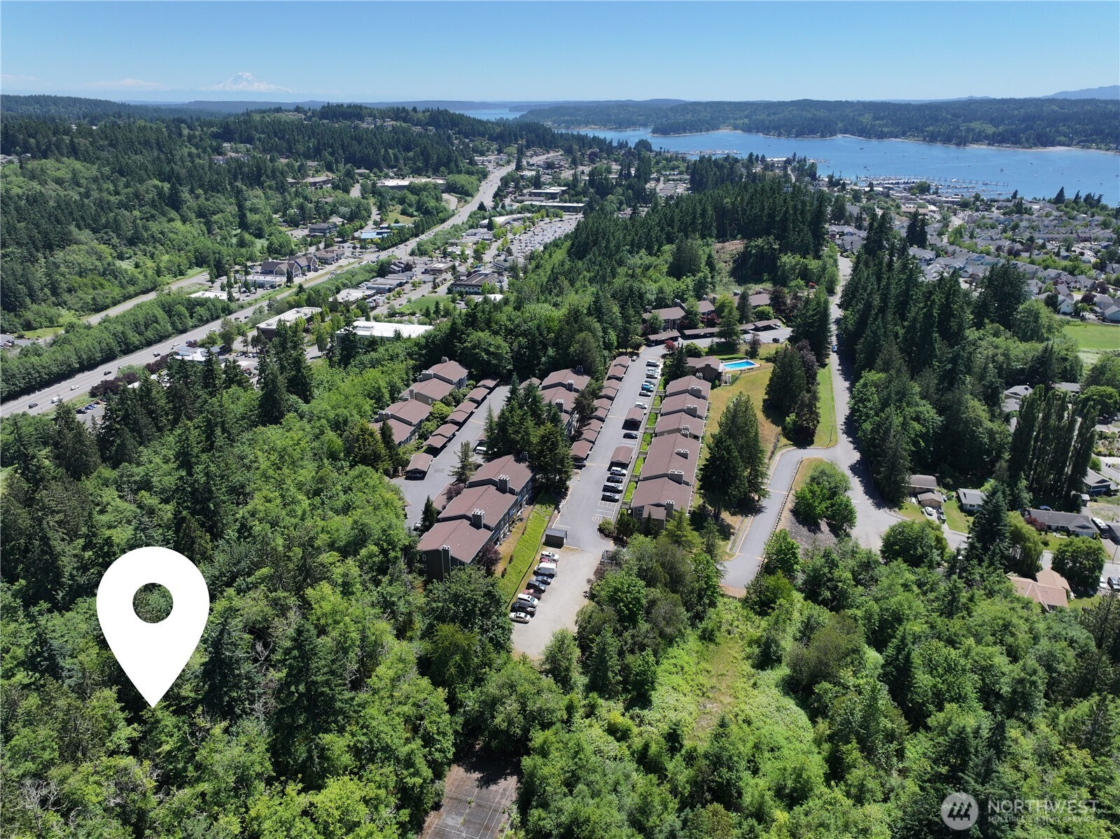
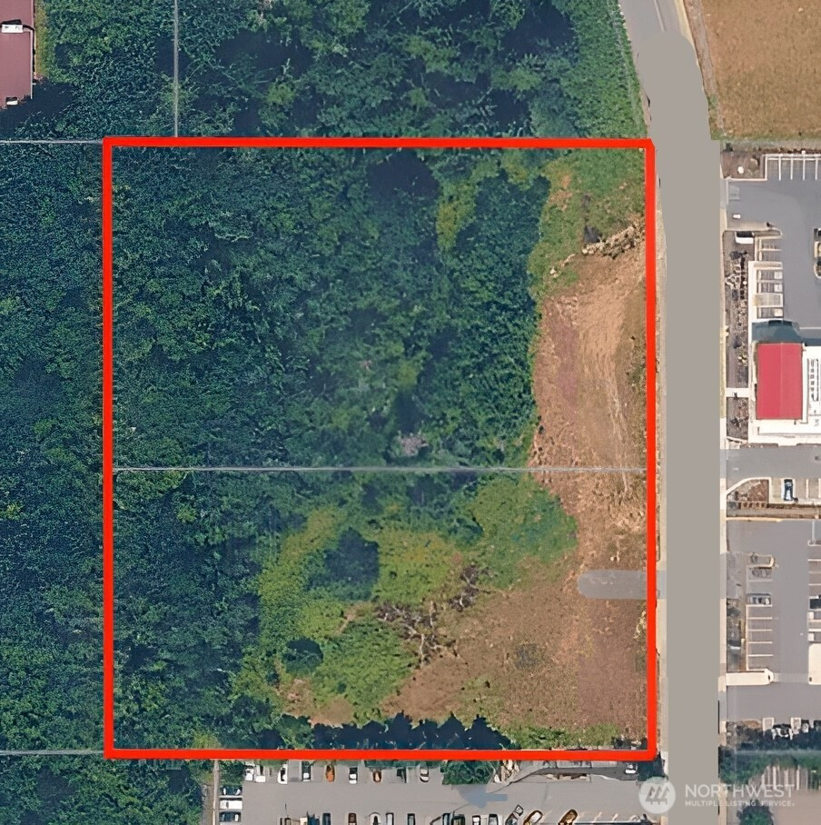
20 secluded acres adjacent to Port Gamble Forest/Heritage Park for recreational use. Large cedar trees guard the entrance & covered with a beautiful fir & alder forest at the W end. for a nice homesite in the trees once cleared. 8 acres harvested in 2020 on east side of parcel, for a potential Olympic Mtn view. Adjacent to Port Gamble Forest/Heritage to the East for horseback riding, biking & hiking trails & as a buffer. Known well water across the road with underground power available at road. There is an entrance at the W end and also one at the mid-N property line. Designated forest land for property tax savings. This parcel has been surveyed & partial wetland delineation. What would you do with so much land to use ?
Listing Provided Courtesy of Jim Munn, Munn Bro's Hood Canal Prop Inc
General Information
NWM2454621
Land
118
DOM
19.98 acres
0
Forestr
Kitsap
Vinland Elem
Poulsbo Middle
North Kitsap Hi
Land
Land
Listing Provided Courtesy of Jim Munn, Munn Bro's Hood Canal Prop Inc
Krishna Realty data last checked: Apr 26, 2026 23:15 | Listing last modified Mar 17, 2026 20:08,
Source:
Download our Mobile app
Residence Information
0
41 - Res-Over 1 Acre
Features and Utilities
Well Needed
Not Available
Financial
27.98
Cash, Farm Home Loan
11-19-2025
Comparable Information
118
118
Cash, Farm Home Loan
$290,000
$290,000
Mar 17, 2026 20:08
Schools
Elementary : Vinland ElemN/ARatings Middle : Poulsbo Middle N/ARatings High : North Kitsap HiN/ARatings
Map
Listing courtesy of Munn Bro's Hood Canal Prop Inc.
20 secluded acres adjacent to Port Gamble Forest/Heritage Park for recreational use. Large cedar trees guard the entrance & covered with a beautiful fir & alder forest at the W end. for a nice homesite in the trees once cleared. 8 acres harvested in 2020 on east side of parcel, for a potential Olympic Mtn view. Adjacent to Port Gamble Forest/Heritage to the East for horseback riding, biking & hiking trails & as a buffer. Known well water across the road with underground power available at road. There is an entrance at the W end and also one at the mid-N property line. Designated forest land for property tax savings. This parcel has been surveyed & partial wetland delineation. What would you do with so much land to use ?